Dredging in Arizona
From the 1900s through the 1930s, large scale extraction of the placers on the Prescott area’s Lynx Creek occurred in the form of dredging to remove gold from river-flat gravel deposits with little grade.
Typical dredge design included a flat-bottomed, shallow-draft hull, separation equipment, a steam engine-and a giant shovel with an endless bucket-belt scoop “ladder” that displaced sand on a conveyer belt, transporting it to a separation area onboard composed of riffle boxes and tables.
As its mean of propulsion, the dredge was winched forward with cables secured to anchors or trees, digging its own river as it moved forward through the alluvial sands. Ideal topography for dredging included a low mean grade and a broad alluvial overburden found in the lower stream valleys. When a dredge hit a sold rock ledge, embedded tree trunks, or exhausted a stream bed, it was rendered ineffective as it could not reverse its course. As a result, it was cannibalized for parts and then abandoned.
One example of a dredge operation in Arizona was the Gold Gulch Mining Co.’s dry-land dredge operation at the Teviston district, at the northern foot of Cochise County’s Dos Cabezas Mtns. The dredge’s rated capacity was 50 cubic yards of gravel per hour, consuming 150 gallons of water a minute. Operated between 1937 and 1940, it contributed to the output of placer gold valued at $17,696.
A more profitable placer gold operation was in the Bradshaw Mountains at Lynx Creek. Consisting of more than 16 miles of placer gold deposits, Lynx Creek was worked over the years by pans, hand rockers and small sluices, The rich gravels yielded an average of $20 of gold a day before 1885.
During the 1890’s, Thomas G, Barlow Massicks conducted hydraulic mining of the gravels at Lynx Creek, including building a dam that was soon destroyed by a flood. Considered the largest producer of placer gold in Arizona, the property was later worked by the Lynx Creek Placer Miner Co. from 1934-1940 and included a floating wash plant and two draglines.
During the Great Depression, more than 600 men worked the Lynx Creek placers, making 50 cents a day in 1934 by rocking and sluicing the gulches of upper Lynx Creek. The Harper Brothers & McGuire Co. dredge worked lower Lynx Creek for 6 miles, mining the gold left behind from the Hassayampers, who mined its gravels in 1863.
Production figures prior to 1885 and again from 1933 to 1942 from Lynx Creek were estimated at $2 million in gold. Of great interest to our members, a dryland dredge operated in the Little San Domingo Wash in the late 1950’s and early 1960’s. The dredge was not very efficient, as it classified to a quarter inch and discarded larger pieces of gold into the tailing piles.
Many are still there, so get out there and find some roadrunners!
From Arizona Lode Gold Mines and Gold Mining – Arizona Bureau of Mines 1967
Gold mining in Arizona did not start to any appreciable extent until after the acquisition of the territory by the United States from Mexico in 1848 and 1853. What little mining was done by the Spanish and Mexican miners was for silver. A little placer gold was brought in to the churches by Indian converts from the dry working of gravels in the desert, but no systematic mining was done.
After the final occupation of Arizona in 1853, the only accessible part of the Territory was that around the old Mexican settlements of Tucson and Tubac. Considerable prospecting was done in this part of the Territory by American prospectors, and several silver mines and one copper mine were opened, but little or no gold mining was done. On the outbreak of the Civil War, the withdrawal of troops opened the door to Apache raids, and all mining ceased.
During the Civil War, prospectors entered the Territory with the California troops, and several exploring parties were organized to hunt for gold in the central part of the State, hitherto an unknown wilderness dominated by Apaches.
Rich placers Were found near the Colorado River at Gila City, La Paz, and Quartzsite, and soon after the Rich Hill, Lynx Creek, Hassayampa, and Big Bug placers in the Bradshaw Mountains of central Arizona were discovered.
Base metal mines and even silver mines were not sought, as only gold could be mined at a profit from this inaccessible and hazardous corner of the world.
After the richer parts of the placers were exhausted, gold ledges were located and worked in the crudest manner. Most of the free-milling ore proved superficial. Only one large deposit, the Vulture, was exploited on a large scale.
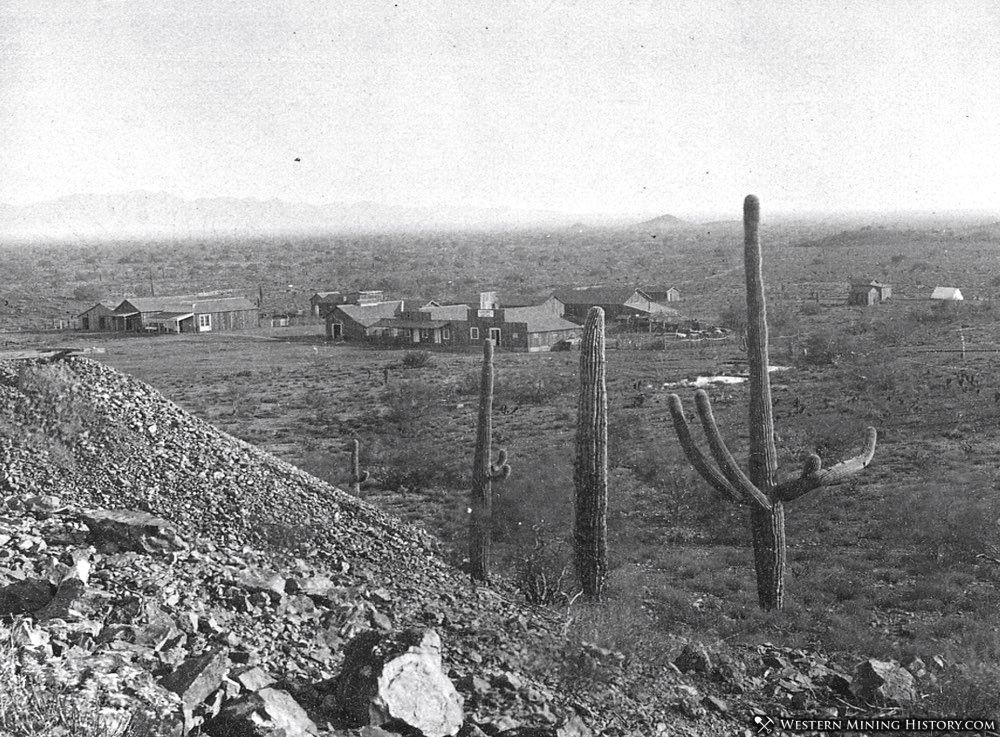
Vulture City AZ circa 1880
At the end of the Civil War, troops were again withdrawn, resulting in ten years of chaos and bloody warfare With the Apaches. Little mining was done except around Prescott and Wickenburg where some protection was given by troops guarding Prescott, then the capital of the Territory.
Finally, in 1872, large reservations were set aside for the Indians and the first truce was declared. The country was then enjoying the post-Civil War period of high commodity prices. Gold was relatively low in price as compared with silver and copper. Prospecting for these two metals, on the establishment of peace with the Indians, took precedence over gold, resulting, in the succeeding ten years, in the discovery and exploitation of rich silver mines in the Bradshaws, Silver King, Signal, Globe, and Tombstone.
This silver boom was followed after the completion of the two transcontinental railroads in 1881 by the discovery and early exploitation of nearly every copper deposit in the Territory.
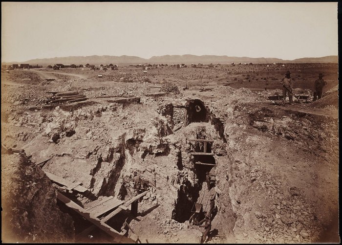 Toughnut Mine in Tombstone (1880)
From 1884 to 1893 the country Went through a severe deflation of commodity values. The copper and silver markets fell rapidly resulting in a relative rise in the price of gold. On the demonetization of silver in 1893, practically all silver mining ceased, and only the richest and largest copper mines continued to operate.
From 1893 to 1900, miners from all the old silver camps of the West again turned to the Search for gold, which resulted in Arizona in the discovery of numerous new gold deposits, more notably the Congress and Octave in the Bradshaw Mountains, the Mammoth north of Tucson, and the rich Harqua Hala, La Fortuna, and King of Arizona mines in the desert of Yuma County.
The development of the cyanide process and of better concentration methods encouraged the reopening of numerous old mines near Prescott and the exploitation of the deeper base ore.
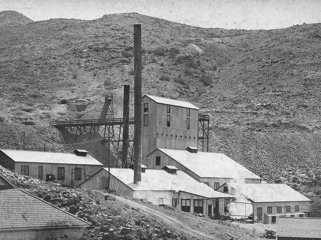 Octave Mine and Mill
On the collapse of Commodity prices in 1930, miners again turned their attention to gold. The first result was the search for new placers and the reworking of old fields, with indifferent results. The higher gold prices that were established by the United States in 1933 have revived activity in most of the old gold camps and stimulated prospecting throughout the State. In 1933, production was about 12 percent greater than in 1932.
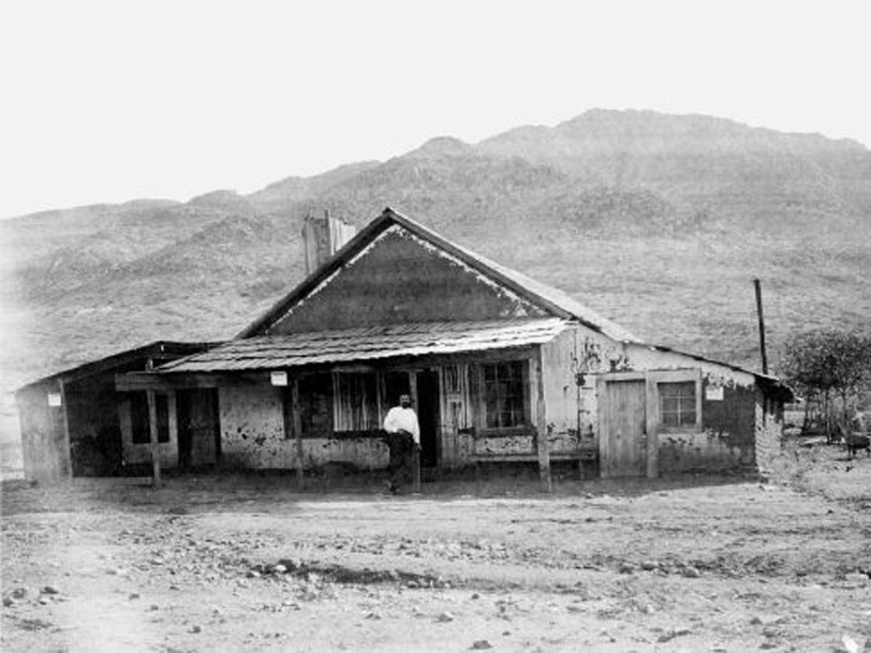 Charles P Stanton in front of his hotel.
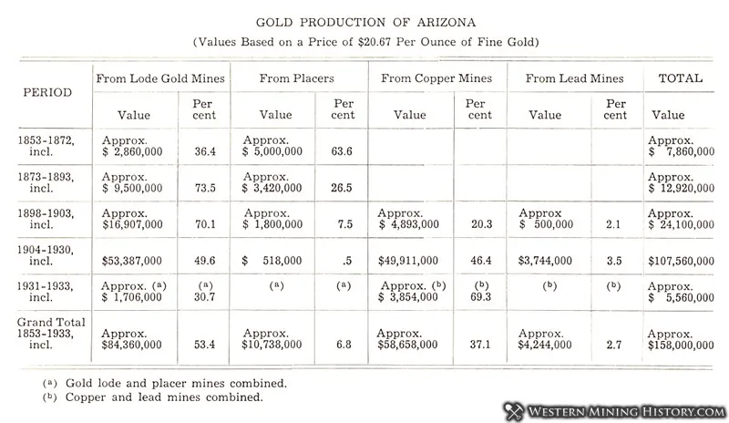
As a gold producer, Arizona ranks seventh in the United States. In the following table, the Arizona gold production is shown segregated as to its source. As is seen, about 40 percent has come as a by-product of copper and lead mining, chiefly after 1900.